


SmartDrone of Greenville
Aerial photographer
29611 Greenville
South Carolina
Telephone:
(864) 308-2054
Description:
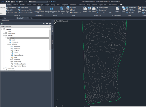
SmartDrone is a Lidar drone surveying company and is your trusted provider for Greenville, SC, drone topographic mapping services. Our aerial LiDAR technology provides accurate, fast, and cost-effective data collection for subdivision planning and one-foot contours. Do you have topographic and one-foot contour jobs that you can't bid? Worried about overworking your crews? Increase productivity and profits with our Do-It-For-You, turn-key Greenville, SC, LiDAR scanning services.
List of Services:
drone survey company, drone survey services, lidar surveys
Business Hours:
Mon-Fri: [open] 9:00am – 4:30pm
Twitter :
https://twitter.com/SmartDroneUSA
LinkedIn :
https://www.linkedin.com/company/smartdrone-corporation
Schreiben Sie einen Kommentar
comments powered by DisqusWeiteres im Umkreis









Landkarte
GPS Koordinaten
N0° 0' 0" E0° 0' 0"(0, 0)